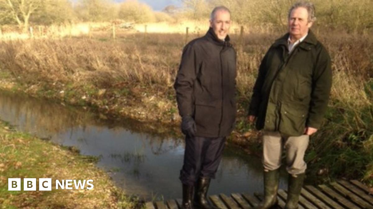
Maybe not where you'd go this minute, but...

Collapse
X
 
  • Filter
  • Time
  • Show
Clear All
new posts
  • ardcarp
    Late member
    • Nov 2010
    • 11102

    Maybe not where you'd go this minute, but...

    A wondrous place, full of magical history and still filling the visitor with a sense of 'the other wordly'. It's a landscape of flattish fields and marshland, criss-crossed with dykes (known as 'rheins') presided over by Glastonbury Tor. We're talking, of course, of The Somerset Levels. It has always flooded, much of it being below sea-level, and some of the village names, Chedzoy, Middlezoy, Weston Zoyland, suggest they were once islands in a sea or 'zoy'. There are areas of reeds (the bittern is seen and/or heard here) and willows...that don't mind getting their feet wet...are grown for 'withies' , thin stems harvested for basket-making. An ancient local craft.

    The drainage of The Levels has always been complicated. Medieval monks built the first sea-defences around Highbridge, and much later, The Kings Sedgemoor Drain (actually a man-made river) assisted by taking some of the water from the Parrett's catchment area. In the 1960's (approx) The Parrett Relief Scheme (another artificial river) helped even more.

    But latterly drainage has been disastrous because nobody knows how to do it any more. Between about 1950 and 1980 they had got things sussed...not that it never flooded, it did, but nothing like on the present scale. This is because there are now multiple 'agencies', endless committees, jargon and paperwork of the sort that has beset many aspects of modern life.

    This is how things worked in the golden era. The Somerset River Board, latterly the Somerset River Authority employed a divisional engineer whose direct responsibility was the draining of The Levels. He presided over a network of Marsh Bailiffs, local men who knew what happened if you opened such-and-such a sluice, and where the water would go. He controlled pumping stations. He also had a direct workforce at his disposal, mainly consisting of drag-line operators [drag-lines being a type of crane with buckets] that could scoop out the beds of rivers. ..The Ile, The Brew, The Parrett, etc...and dump the spoil on the sides thus increasing their capacity and preventing them from bursting their banks. This happened all the time. And there was constant adjusting of weirs, sluices, and importantly, pumping stations.

    One such divisional engineer was my father-in-law. Occasionally on a Friday I would join him in his rounds, where, dog at his heels, he would deliver pay-packets to all his 'men' whom he knew personally. He would chat with them about drainage and life in general. Thus were The Levels drained. It is probably the most demanding drainage system in the country (harder to get right than East Anglia). Alas the knowledge of how to do it has gone.

    As this is the R3 Forum, I'll just mention that my father-in-law loved Choral Evensong (especially the psalms) and played the organ in a Somerset village church for many years.
    Last edited by ardcarp; 28-01-14, 00:27.
  • DracoM
    Host
    • Mar 2007
    • 12969

    #2
    Was the crucial knowledge never archived?
    Or does the sea / water refuse to obey the paperwork any more?

    Or are those who know powerless to direct those who only clerk?

    Damned nature, doesn't know its place any more.

    Comment

    • Tevot
      Full Member
      • Nov 2010
      • 1011

      #3
      Ah Somerset. I know Yeovil. Chilthorne Domer and Stoke sub Hamden. A beautiful part of the world.

      Where else I'd go albeit not this minute ? If not to see my dear mum back in Bradford - it would have to be Bophut, Koh Samui, Thailand...

      The Sea... The Sea xxxx

      Comment

      • gurnemanz
        Full Member
        • Nov 2010
        • 7386

        #4
        And of course it was so impenetrable that Alfred the Great hid there from the Vikings.

        Comment

        • ardcarp
          Late member
          • Nov 2010
          • 11102

          #5
          Or are those who know powerless to direct those who only clerk?
          Yes that's about it, Draco. Unfortunately 'those who know' are getting a bit thin on the ground because it's a couple of generations ago that The Levels were drained properly.

          There's a fantastic book by local poet James Crowden, "In Time of Flood" ...with pictures...about the people and folklore of The Levels.

          Comment

          • teamsaint
            Full Member
            • Nov 2010
            • 25209

            #6
            thanks for that fantastic post Ards.

            I work around the area a fair bit, and its fascinating to have this insight into an extraordinary landscape. We have lost so much.

            Incidentally, I heard an interesting feature on the radio around a decade ago, about how higher levels of water abstraction had left the rivers liable to have reduced capacity as the banks weeded up , and the beds silt up. All part of the problem.
            I will not be pushed, filed, stamped, indexed, briefed, debriefed or numbered. My life is my own.

            I am not a number, I am a free man.

            Comment

            • Serial_Apologist
              Full Member
              • Dec 2010
              • 37676

              #7
              There is vague talk now of taking the strain off rivers at lower levels by paying farmers in the upper reaches to let parts of their land flood.

              Comment

              • Anna

                #8
                Originally posted by Serial_Apologist View Post
                There is vague talk now of taking the strain off rivers at lower levels by paying farmers in the upper reaches to let parts of their land flood.
                I caught a mention of that on the news this morning but have now found an article which explains the 'lazy river' scheme and how it's working - which sounds a very good idea to me.
                Farmers getting public grants should be forced to capture water on their land to prevent floods downstream, environmentalists say.

                Comment

                • Serial_Apologist
                  Full Member
                  • Dec 2010
                  • 37676

                  #9
                  Originally posted by Anna View Post
                  I caught a mention of that on the news this morning but have now found an article which explains the 'lazy river' scheme and how it's working - which sounds a very good idea to me.
                  http://www.bbc.co.uk/news/science-environment-25931847
                  I agree to an extent, Anna - the problem with allowing upper reaches of rivers to flood is that this could only be applied in flatter upper reach areas, the rate of flow being slower and rivers tending to flood where gradients are slack rather than when expending energy on cutting channels into bedrock. I would imagine most of our rivers most prone originate in areas where little flooding actually takes place in the upper reaches, and therefore little advantage is gained by displacing the problem upstream. Flooding is very much a function of middle and lower reaches of rivers where meandering takes place, building up literal flood plains, as well as in tidal reaches subject to rising sea levels due to polar ice melt, meaning that the problem is more long-term, global.

                  Comment

                  • ardcarp
                    Late member
                    • Nov 2010
                    • 11102

                    #10
                    Anna,

                    It may work in some places, but NOT the Somerset Levels. For a start, the Bristol Channel has the 2nd largest tidal range in the world, and secondly, The Levels themselves are below mean sea level in places. The sheer volume of water to be shifted cannot begin to be reduced by a bit of deliberate upstream flooding.

                    The only way to do it is to keep the main rivers, the relief channels and all the 'rheins' dredged to hold as much water as possible and to discharge it as fast as possible when the tide allows. They had it worked out 40 years ago. Now they've forgotten (conveniently or otherwise) the plan.

                    Comment

                    • Serial_Apologist
                      Full Member
                      • Dec 2010
                      • 37676

                      #11
                      Originally posted by ardcarp View Post
                      Anna,

                      It may work in some places, but NOT the Somerset Levels. For a start, the Bristol Channel has the 2nd largest tidal range in the world, and secondly, The Levels themselves are below mean sea level in places. The sheer volume of water to be shifted cannot begin to be reduced by a bit of deliberate upstream flooding.

                      The only way to do it is to keep the main rivers, the relief channels and all the 'rheins' dredged to hold as much water as possible and to discharge it as fast as possible when the tide allows. They had it worked out 40 years ago. Now they've forgotten (conveniently or otherwise) the plan.
                      Might this put a question mark over the practicability and desirability of the tidal barrage idea, which has been mooted again recently?

                      Comment

                      • MrGongGong
                        Full Member
                        • Nov 2010
                        • 18357

                        #12
                        Originally posted by ardcarp View Post

                        But latterly drainage has been disastrous because nobody knows how to do it any more. Between about 1950 and 1980 they had got things sussed...not that it never flooded, it did, but nothing like on the present scale. This is because there are now multiple 'agencies', endless committees, jargon and paperwork of the sort that has beset many aspects of modern life.
                        I'm not sure that it's a case of not "knowing how to do it"
                        As with the Fens and the Wash there is a change of emphasis with some places being allowed "managed retreat" from the sea.
                        I don't really know Somerset very well but do know South Lincolnshire very well and there are similar issues.

                        I suspect the real reasons are more to do with the economics of farming. South Lincolnshire (and North Cambridgeshire / Norfolk) produces huge quantities of produce, it's a huge sprout factory. Allowing the land to flood (which does happen in some parts as part of the management) would be economically damaging. Farming on that scale is big business, growing withies and the kind of use that Somerset has isn't so that's where decisions get made.

                        Comment

                        • teamsaint
                          Full Member
                          • Nov 2010
                          • 25209

                          #13
                          Originally posted by Serial_Apologist View Post
                          Might this put a question mark over the practicability and desirability of the tidal barrage idea, which has been mooted again recently?
                          checking out who has interests in the barrage scheme is a good idea.

                          Clue to one of them: His kids developed a taste for burgers early in life.........

                          and to save you the trouble

                          A proposal for the biggest infrastructure project in British history has shaky foundations but some powerful friends
                          I will not be pushed, filed, stamped, indexed, briefed, debriefed or numbered. My life is my own.

                          I am not a number, I am a free man.

                          Comment

                          • MrGongGong
                            Full Member
                            • Nov 2010
                            • 18357

                            #14
                            Rhymes with Gummer ?

                            Comment

                            • ardcarp
                              Late member
                              • Nov 2010
                              • 11102

                              #15
                              Might this put a question mark over the practicability and desirability of the tidal barrage idea, which has been mooted again recently?
                              No idea about this I'm afraid; and I'm not au fait with the intrigue/politics of it either.

                              As with the Fens and the Wash there is a change of emphasis with some places being allowed "managed retreat" from the sea.
                              I don't really know Somerset very well but do know South Lincolnshire very well and there are similar issues.

                              I suspect the real reasons are more to do with the economics of farming. South Lincolnshire (and North Cambridgeshire / Norfolk) produces huge quantities of produce, it's a huge sprout factory. Allowing the land to flood (which does happen in some parts as part of the management) would be economically damaging. Farming on that scale is big business, growing withies and the kind of use that Somerset has isn't so that's where decisions get made.
                              Leaving aside the relative 'value' of a Somerset farmer's livelihood cf one from Lincs, the drainage of The Levels is completely different from Lincs and East Anglia.

                              On the Today Programme this a.m. a local Somerset (County?) Councillor was confirming my point that dredging all the water courses is the only solution as it (a) gives somewhere for the water to go and (b) it gets it out to sea more quickly.

                              Comment

                              Working...
                              X