SA, Zola, Weill wait and see!
Stormy Weather II
Collapse
X
-
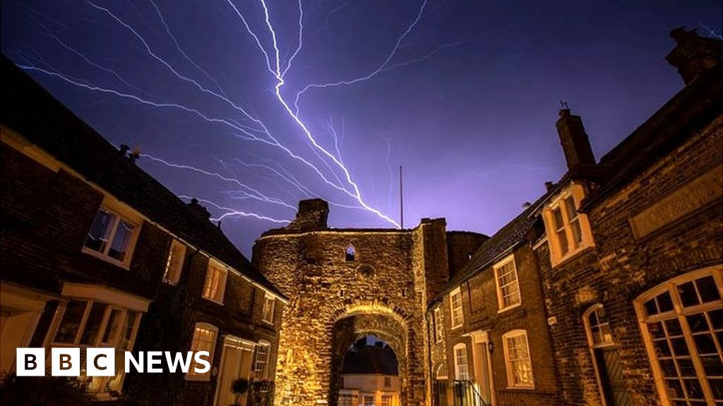
That storm system just skirted us to the south-east; I watched the lightning display over Kent from the top of the hill here: very impressive, just too far away to be able to hear the thunder, so I cam in and watched the progress on lightningmaps, where each atmospheric, or lightning strike, immediately shows up resembling a tomato seed, before turning yellow after about a minute, and then brown, before fading away after about half an hour. As can be imagined, the maps were covered in what looked like squashed tomatoes! As can be seen here on this link:Originally posted by zola View PostImpressive photos of last night's storms over the channel.
https://www.bbc.co.uk/news/uk-england-48688194
 See lightning strikes in real time across the planet. Free access to maps of former thunderstorms. By Blitzortung.org and contributors.
It now looks as if it is going to warm up dramatically by Tuesday of next week, followed by more thunderstorms on Wednesday and Thursday, especially in the south.
Comment
-
-
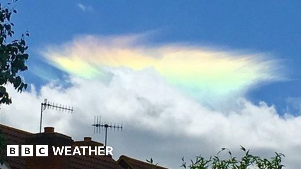
Sitting on a park bench I saw just this phenomenon a few weeks ago. My friend turned to me and said "That must be pretty good stuff you're on"!Originally posted by vinteuil View Post
Comment
-
-
Turned out disappointing today - sort of pre-thundery sky not managing to develop into anything. It will be interesting to find out if the forecast thunderstorms do break out tomorrow, as there are no preliminary signs, like storms occurring over the Pyrenees, acting as a Spanish Plume precipitant.
Comment
-
-
Stifling feel out there today -similar sky to yesterday but much warmer; so I'm keeping the cool air inside with windows shut. Every forecast is predicting a long night of severe thunderstorms tonight for most of East Anglia and the south east, with some dispute over how far west the MSC will reach, then another hot and close day tomorrow for uncomfortable mopping up operations! Then it cools off a bit as a ridge of high pressure moves down from the NW, bringing in cooler air off the North Sea to this neck of the woods on Wednesday through to Friday, before hotting up again for a real southern scorchio on Saturday.
Comment
-


Comment